Benchmark on wall outside #178 Musters Road at South Road junction
Introduction
The photograph on this page of Benchmark on wall outside #178 Musters Road at South Road junction by Roger Templeman as part of the Geograph project.
The Geograph project started in 2005 with the aim of publishing, organising and preserving representative images for every square kilometre of Great Britain, Ireland and the Isle of Man.

There are currently over 7.5m images from over 14,400 individuals and you can help contribute to the project by visiting https://www.geograph.org.uk
Benchmark on wall outside #178 Musters Road at South Road junction
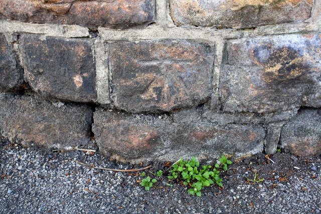
Image: © Roger Templeman Taken: 14 May 2018
Ordnance Survey cut mark benchmark levelled at 24.664m above Newlyn Datum with additional information to be found on the Bench Mark Database at www.bench-marks.org.uk/bm112895
Images are licensed for reuse under creativecommons.org/licenses/by-sa/2.0
Image Location
Latitude
52.92688
Longitude
-1.132424