Axdane, Hull
Introduction
The photograph on this page of Axdane, Hull by Paul Harrop as part of the Geograph project.
The Geograph project started in 2005 with the aim of publishing, organising and preserving representative images for every square kilometre of Great Britain, Ireland and the Isle of Man.

There are currently over 7.5m images from over 14,400 individuals and you can help contribute to the project by visiting https://www.geograph.org.uk
Axdane, Hull
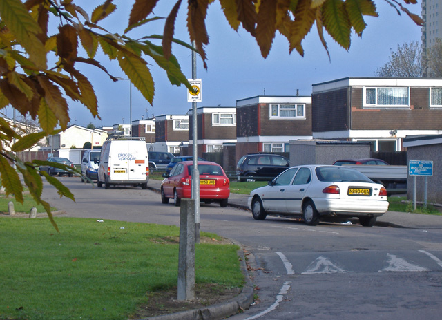
Image: © Paul Harrop Taken: 4 Nov 2007
Off Dane Park Road on the western side of the Orchard Park Estate.
Images are licensed for reuse under creativecommons.org/licenses/by-sa/2.0
Image Location
Latitude
53.785278
Longitude
-0.388841