New estate, Worcester
Introduction
The photograph on this page of New estate, Worcester by Chris Allen as part of the Geograph project.
The Geograph project started in 2005 with the aim of publishing, organising and preserving representative images for every square kilometre of Great Britain, Ireland and the Isle of Man.

There are currently over 7.5m images from over 14,400 individuals and you can help contribute to the project by visiting https://www.geograph.org.uk
New estate, Worcester
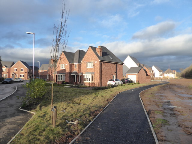
Image: © Chris Allen Taken: 28 Jan 2018
Nearing completion but still a few finishing touches required. On the left is Cooke Close while the path to the right leads to a playground and some open space with adjoining allotments and the pond for the sustainable urban drainage system.
Images are licensed for reuse under creativecommons.org/licenses/by-sa/2.0
Image Location
Latitude
52.178979
Longitude
-2.18437