Roundabout and building site, Maidenbower, Crawley
Introduction
The photograph on this page of Roundabout and building site, Maidenbower, Crawley by Robin Webster as part of the Geograph project.
The Geograph project started in 2005 with the aim of publishing, organising and preserving representative images for every square kilometre of Great Britain, Ireland and the Isle of Man.

There are currently over 7.5m images from over 14,400 individuals and you can help contribute to the project by visiting https://www.geograph.org.uk
Roundabout and building site, Maidenbower, Crawley
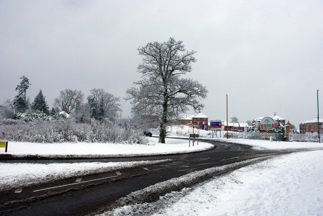
Image: © Robin Webster Taken: 6 Jan 2010
The roundabout on the B2036 give access to the northbound M23 at its junction 10a and also to the Maidenbower neighbourhood of Crawley. Ahead is one of the last parts of Maidenbower to be developed, it lagged some years behind the rest.
Images are licensed for reuse under creativecommons.org/licenses/by-sa/2.0
Image Location
Latitude
51.106875
Longitude
-0.145726