Public footpath
Introduction
The photograph on this page of Public footpath by Alan Walker as part of the Geograph project.
The Geograph project started in 2005 with the aim of publishing, organising and preserving representative images for every square kilometre of Great Britain, Ireland and the Isle of Man.

There are currently over 7.5m images from over 14,400 individuals and you can help contribute to the project by visiting https://www.geograph.org.uk
Public footpath
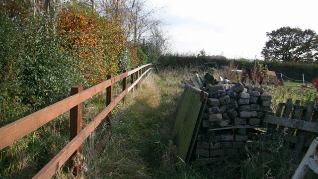
Image: © Alan Walker Taken: 2 Nov 2007
This somewhat ‘untidy’ public footpath is facing the eastern end of a route that connects Waterloo and the Image (both behind the viewpoint) with the B6039 (ahead). The junction with the B6039 is via a rather Image in the hedgerow (ahead). For a more easterly photograph, taken from near the stile, but looking back, toward this viewpoint, click here Image For a northerly facing (ahead, left) photograph of the B6039 taken from the other side of the hedge, click here Image For a more westerly (behind the viewpoint) photograph of the footpath, click here Image
Images are licensed for reuse under creativecommons.org/licenses/by-sa/2.0
Image Location


Leaflet Map data © OpenStreetMap
Latitude
53.172611
Longitude
-1.352632