Main Street, Kilwinning
Introduction
The photograph on this page of Main Street, Kilwinning by Thomas Nugent as part of the Geograph project.
The Geograph project started in 2005 with the aim of publishing, organising and preserving representative images for every square kilometre of Great Britain, Ireland and the Isle of Man.

There are currently over 7.5m images from over 14,400 individuals and you can help contribute to the project by visiting https://www.geograph.org.uk
Main Street, Kilwinning
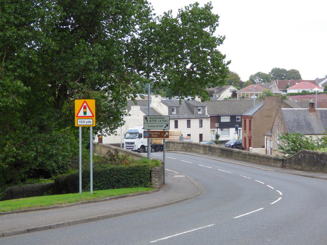
Image: © Thomas Nugent Taken: 6 Aug 2018
The A737, crossing the River Garnock on the Category C Listed http://portal.historicenvironment.scot/designation/LB36239 Kilwinning Bridge.
Images are licensed for reuse under creativecommons.org/licenses/by-sa/2.0
Image Location
Latitude
55.654124
Longitude
-4.694948