Impenetrable path
Introduction
The photograph on this page of Impenetrable path by Alan Hughes as part of the Geograph project.
The Geograph project started in 2005 with the aim of publishing, organising and preserving representative images for every square kilometre of Great Britain, Ireland and the Isle of Man.

There are currently over 7.5m images from over 14,400 individuals and you can help contribute to the project by visiting https://www.geograph.org.uk
Impenetrable path
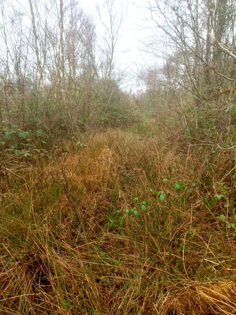
Image: © Alan Hughes Taken: 21 Jan 2019
Just a few years after the closure of BP Llandarcy, the track alongside Crymlyn Bog is now completely overgrown.
Images are licensed for reuse under creativecommons.org/licenses/by-sa/2.0
Image Location
Latitude
51.647609
Longitude
-3.870521