Lower Boat Pond, Beaufort
Introduction
The photograph on this page of Lower Boat Pond, Beaufort by Colin Cheesman as part of the Geograph project.
The Geograph project started in 2005 with the aim of publishing, organising and preserving representative images for every square kilometre of Great Britain, Ireland and the Isle of Man.

There are currently over 7.5m images from over 14,400 individuals and you can help contribute to the project by visiting https://www.geograph.org.uk
Lower Boat Pond, Beaufort
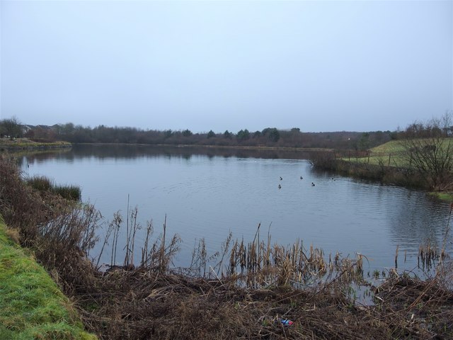
Image: © Colin Cheesman Taken: 20 Jan 2019
This is the larger of the two Boat Ponds that form part of what is now Beaufort Hill Ponds and Woodlands, run by a volunteer group on land owned by Blaenau Gwent County Borough Council. The ponds were originally created in 1780 to supply the Nantyglo Iron Works and later the Ebbw Vale Steelworks till that closed in 2002. They are now a haven for wildlife, popular with locals for walking and dog walking and are fished.
Images are licensed for reuse under creativecommons.org/licenses/by-sa/2.0
Image Location
Latitude
51.79956
Longitude
-3.196486