Hereford & Worcester Fire and Rescue, Operational Logistics, Pendragon Close, Malvern Link
Introduction
The photograph on this page of Hereford & Worcester Fire and Rescue, Operational Logistics, Pendragon Close, Malvern Link by Chris Allen as part of the Geograph project.
The Geograph project started in 2005 with the aim of publishing, organising and preserving representative images for every square kilometre of Great Britain, Ireland and the Isle of Man.

There are currently over 7.5m images from over 14,400 individuals and you can help contribute to the project by visiting https://www.geograph.org.uk
Hereford & Worcester Fire and Rescue, Operational Logistics, Pendragon Close, Malvern Link
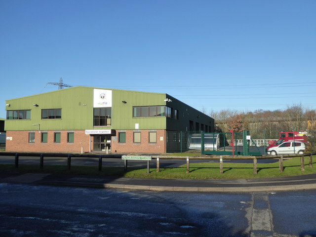
Image: © Chris Allen Taken: 7 Jan 2018
It is very hard to find geographical context for emergency services at the best of times and operational logistics is even more nebulous. This is on the Enigma Industrial Estate on the edge of Malvern Link.
Images are licensed for reuse under creativecommons.org/licenses/by-sa/2.0
Image Location
Latitude
52.12578
Longitude
-2.303052