Embankment on the Esk Valley Way
Introduction
The photograph on this page of Embankment on the Esk Valley Way by Stephen Craven as part of the Geograph project.
The Geograph project started in 2005 with the aim of publishing, organising and preserving representative images for every square kilometre of Great Britain, Ireland and the Isle of Man.

There are currently over 7.5m images from over 14,400 individuals and you can help contribute to the project by visiting https://www.geograph.org.uk
Embankment on the Esk Valley Way
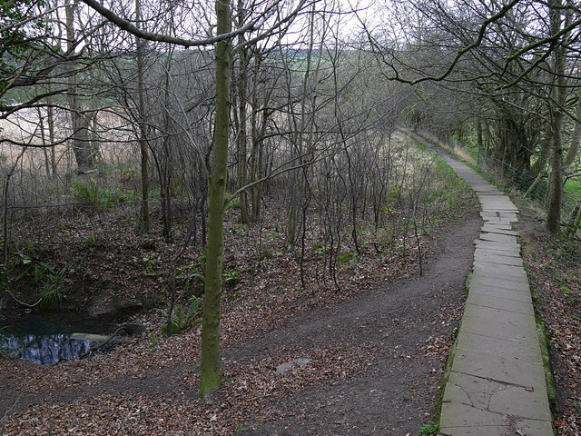
Image: © Stephen Craven Taken: 12 Jan 2019
Looking down Fitts Steps Image, the stone path crosses an area of boggy land on an embankment. This stone causeway extends most of the way towards Whitby, which suggests it was an important walking route between the two settlements in past times.
Images are licensed for reuse under creativecommons.org/licenses/by-sa/2.0
Image Location
Latitude
54.475913
Longitude
-0.625265