Housing on the edge of Whitby (1)
Introduction
The photograph on this page of Housing on the edge of Whitby (1) by Stephen Craven as part of the Geograph project.
The Geograph project started in 2005 with the aim of publishing, organising and preserving representative images for every square kilometre of Great Britain, Ireland and the Isle of Man.

There are currently over 7.5m images from over 14,400 individuals and you can help contribute to the project by visiting https://www.geograph.org.uk
Housing on the edge of Whitby (1)
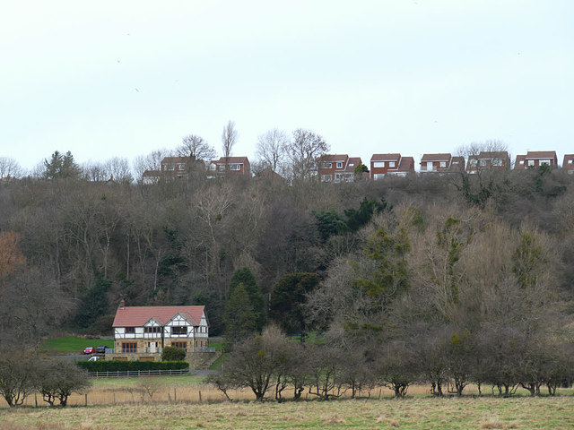
Image: © Stephen Craven Taken: 12 Jan 2019
The houses at the top of the hill are on Pembroke Way, Whitby. The one house at the bottom of the slope is The Range, effectively in the outlying village of Ruswarp and reached by a long private drive.
Images are licensed for reuse under creativecommons.org/licenses/by-sa/2.0
Image Location
Latitude
54.477119
Longitude
-0.62862