The Old Chapel, off Ruswarp High Street
Introduction
The photograph on this page of The Old Chapel, off Ruswarp High Street by Stephen Craven as part of the Geograph project.
The Geograph project started in 2005 with the aim of publishing, organising and preserving representative images for every square kilometre of Great Britain, Ireland and the Isle of Man.

There are currently over 7.5m images from over 14,400 individuals and you can help contribute to the project by visiting https://www.geograph.org.uk
The Old Chapel, off Ruswarp High Street
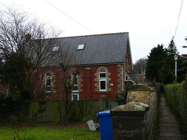
Image: © Stephen Craven Taken: 12 Jan 2019
The 1928 OS map shows it as a Primitive Methodist chapel. Now converted to housing.
Images are licensed for reuse under creativecommons.org/licenses/by-sa/2.0
Image Location


Leaflet Map data © OpenStreetMap
Latitude
54.471632
Longitude
-0.628186