Farmland at Folly Plantation
Introduction
The photograph on this page of Farmland at Folly Plantation by Mat Fascione as part of the Geograph project.
The Geograph project started in 2005 with the aim of publishing, organising and preserving representative images for every square kilometre of Great Britain, Ireland and the Isle of Man.

There are currently over 7.5m images from over 14,400 individuals and you can help contribute to the project by visiting https://www.geograph.org.uk
Farmland at Folly Plantation
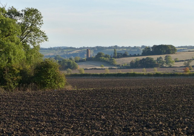
Image: © Mat Fascione Taken: 6 Oct 2013
The (now demolished) grain silo at Vimy Ridge Farm is just over a mile away.
Images are licensed for reuse under creativecommons.org/licenses/by-sa/2.0
Image Location
Latitude
52.888737
Longitude
-1.013689