Northgate, The Headland, Harltepool
Introduction
The photograph on this page of Northgate, The Headland, Harltepool by Graham Robson as part of the Geograph project.
The Geograph project started in 2005 with the aim of publishing, organising and preserving representative images for every square kilometre of Great Britain, Ireland and the Isle of Man.

There are currently over 7.5m images from over 14,400 individuals and you can help contribute to the project by visiting https://www.geograph.org.uk
Northgate, The Headland, Harltepool
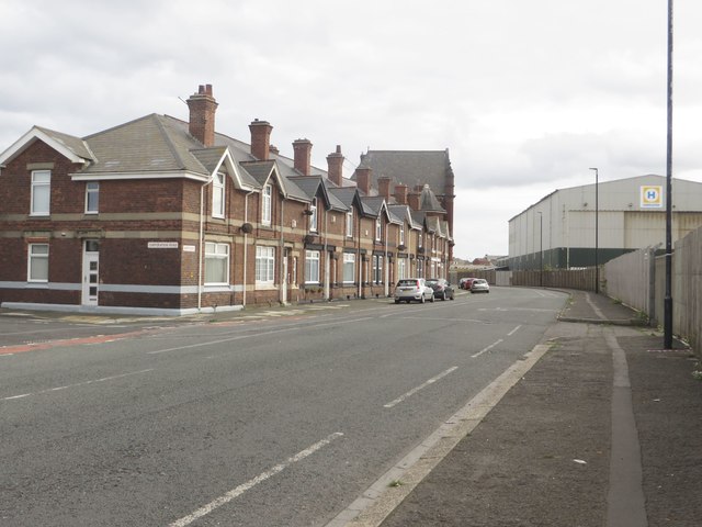
Image: © Graham Robson Taken: 11 Sep 2018
The A1049, Northgate, separates the large industrial area of the port and the residential area on The Headland.
Images are licensed for reuse under creativecommons.org/licenses/by-sa/2.0
Image Location
Latitude
54.699581
Longitude
-1.189998