The core of Victorian Newcastle
Introduction
The photograph on this page of The core of Victorian Newcastle by Eric Jones as part of the Geograph project.
The Geograph project started in 2005 with the aim of publishing, organising and preserving representative images for every square kilometre of Great Britain, Ireland and the Isle of Man.

There are currently over 7.5m images from over 14,400 individuals and you can help contribute to the project by visiting https://www.geograph.org.uk
The core of Victorian Newcastle
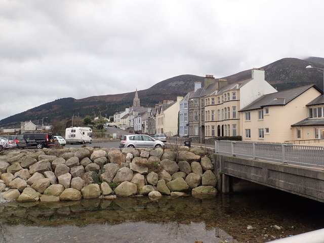
Image: © Eric Jones Taken: 3 Jan 2019
The oldest part of the town of Newcastle lies between the Lower Glen valley and the Drineever ridge of the Mournes. The spire is that of St John's CoI Church.
Images are licensed for reuse under creativecommons.org/licenses/by-sa/2.0
Image Location
Latitude
54.201493
Longitude
-5.892291