Bridleway to South Stainley
Introduction
The photograph on this page of Bridleway to South Stainley by Derek Harper as part of the Geograph project.
The Geograph project started in 2005 with the aim of publishing, organising and preserving representative images for every square kilometre of Great Britain, Ireland and the Isle of Man.

There are currently over 7.5m images from over 14,400 individuals and you can help contribute to the project by visiting https://www.geograph.org.uk
Bridleway to South Stainley
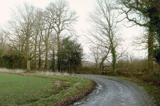
Image: © Derek Harper Taken: 22 Dec 2018
Getting gloomy as the day draws to an end. Bridleway 15 121/4/1 swings sharply to the left here.
Images are licensed for reuse under creativecommons.org/licenses/by-sa/2.0
Image Location
Latitude
54.063711
Longitude
-1.547108