Afon Arth - Bear River
Introduction
The photograph on this page of Afon Arth - Bear River by Eirian Evans as part of the Geograph project.
The Geograph project started in 2005 with the aim of publishing, organising and preserving representative images for every square kilometre of Great Britain, Ireland and the Isle of Man.

There are currently over 7.5m images from over 14,400 individuals and you can help contribute to the project by visiting https://www.geograph.org.uk
Afon Arth - Bear River
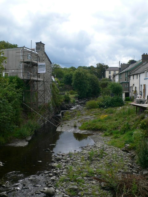
Image: © Eirian Evans Taken: 24 Jun 2011
Emerging from the hills near Bethania, the river runs west for 15 miles before discharging into Cardigan Bay at Aberarth. Many buildings, including the chapel and the road bridge, were destroyed by floods in 1846.
Images are licensed for reuse under creativecommons.org/licenses/by-sa/2.0
Image Location
Latitude
52.251658
Longitude
-4.229286