The Burn Anne path through Burnhouse Brae Wood
Introduction
The photograph on this page of The Burn Anne path through Burnhouse Brae Wood by Gordon Brown as part of the Geograph project.
The Geograph project started in 2005 with the aim of publishing, organising and preserving representative images for every square kilometre of Great Britain, Ireland and the Isle of Man.

There are currently over 7.5m images from over 14,400 individuals and you can help contribute to the project by visiting https://www.geograph.org.uk
The Burn Anne path through Burnhouse Brae Wood
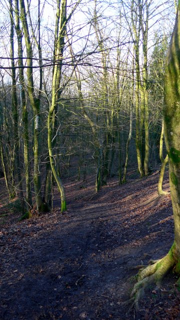
Image: © Gordon Brown Taken: 17 Jan 2019
Burn Anne (or Burnawn or Burnanne) is named after St Anne, said to be the mother of the Virgin Mary. The burn is a famous source of fine agates used in jewellery.
Images are licensed for reuse under creativecommons.org/licenses/by-sa/2.0
Image Location
Latitude
55.594238
Longitude
-4.369724