Duke of Northumberland's River, Mogden STW
Introduction
The photograph on this page of Duke of Northumberland's River, Mogden STW by Des Blenkinsopp as part of the Geograph project.
The Geograph project started in 2005 with the aim of publishing, organising and preserving representative images for every square kilometre of Great Britain, Ireland and the Isle of Man.

There are currently over 7.5m images from over 14,400 individuals and you can help contribute to the project by visiting https://www.geograph.org.uk
Duke of Northumberland's River, Mogden STW
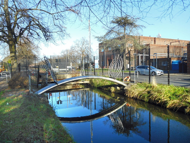
Image: © Des Blenkinsopp Taken: 8 Jan 2019
The Duke's River was cut in the 16th century to provide water from the River Crane for Syon House and mills in Isleworth. The section shown here was realigned in the 1930s as part of the development of Mogden Sewage Treatment Works, one of the largest in the UK. https://en.wikipedia.org/wiki/Mogden_Sewage_Treatment_Works
Images are licensed for reuse under creativecommons.org/licenses/by-sa/2.0
Image Location
Latitude
51.46141
Longitude
-0.340271