Green Dene though the North Downs
Introduction
The photograph on this page of Green Dene though the North Downs by James Emmans as part of the Geograph project.
The Geograph project started in 2005 with the aim of publishing, organising and preserving representative images for every square kilometre of Great Britain, Ireland and the Isle of Man.

There are currently over 7.5m images from over 14,400 individuals and you can help contribute to the project by visiting https://www.geograph.org.uk
Green Dene though the North Downs
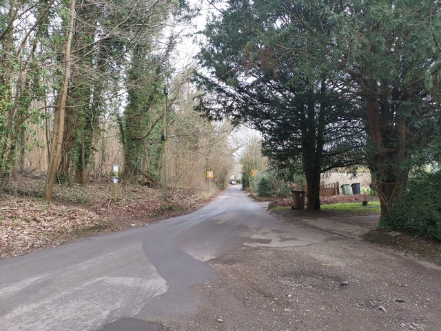
Image: © James Emmans Taken: 13 Jan 2019
North towards the Chalk lane turning, Close to Honeysuckle Bottom.
Images are licensed for reuse under creativecommons.org/licenses/by-sa/2.0
Image Location
Latitude
51.249111
Longitude
-0.432609