Points north of Barassie railway station
Introduction
The photograph on this page of Points north of Barassie railway station by Thomas Nugent as part of the Geograph project.
The Geograph project started in 2005 with the aim of publishing, organising and preserving representative images for every square kilometre of Great Britain, Ireland and the Isle of Man.

There are currently over 7.5m images from over 14,400 individuals and you can help contribute to the project by visiting https://www.geograph.org.uk
Points north of Barassie railway station
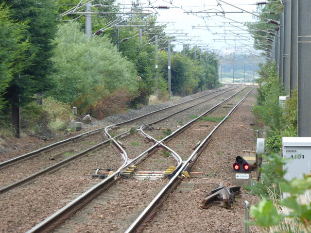
Image: © Thomas Nugent Taken: 6 Aug 2018
The points are probably used in relation to the junction to the south of the station to enable trains from both tracks to join the Kilmarnock Line (not a movement made by passenger trains).
Images are licensed for reuse under creativecommons.org/licenses/by-sa/2.0
Image Location
Latitude
55.56364
Longitude
-4.652264