Barassie railway junction
Introduction
The photograph on this page of Barassie railway junction by Thomas Nugent as part of the Geograph project.
The Geograph project started in 2005 with the aim of publishing, organising and preserving representative images for every square kilometre of Great Britain, Ireland and the Isle of Man.

There are currently over 7.5m images from over 14,400 individuals and you can help contribute to the project by visiting https://www.geograph.org.uk
Barassie railway junction
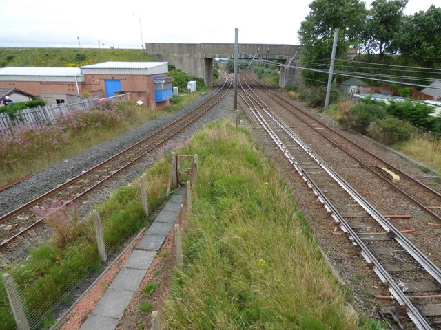
Image: © Thomas Nugent Taken: 6 Aug 2018
The Kilmarnock Line on the left and the Ayr Line on the right meet in two stages, one set of points in the foreground and a further set behind the trees in the distance. Viewed from Barassie station footbridge.
Images are licensed for reuse under creativecommons.org/licenses/by-sa/2.0
Image Location
Latitude
55.560429
Longitude
-4.651096