Sheepcote Lane, Touchen End
Introduction
The photograph on this page of Sheepcote Lane, Touchen End by Des Blenkinsopp as part of the Geograph project.
The Geograph project started in 2005 with the aim of publishing, organising and preserving representative images for every square kilometre of Great Britain, Ireland and the Isle of Man.

There are currently over 7.5m images from over 14,400 individuals and you can help contribute to the project by visiting https://www.geograph.org.uk
Sheepcote Lane, Touchen End
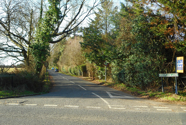
Image: © Des Blenkinsopp Taken: 9 Jan 2019
A residential lane flanked by widely spaced houses with large gardens. The header says this is Paley Street although I have just passed a sign saying Touchen End and the map calls it Braywoodside. I guess the locals know where they live.
Images are licensed for reuse under creativecommons.org/licenses/by-sa/2.0
Image Location
Latitude
51.474873
Longitude
-0.743107