De Montfort House, Shirrall Grove, Kingshurst, east Birmingham
Introduction
The photograph on this page of De Montfort House, Shirrall Grove, Kingshurst, east Birmingham by Robin Stott as part of the Geograph project.
The Geograph project started in 2005 with the aim of publishing, organising and preserving representative images for every square kilometre of Great Britain, Ireland and the Isle of Man.

There are currently over 7.5m images from over 14,400 individuals and you can help contribute to the project by visiting https://www.geograph.org.uk
De Montfort House, Shirrall Grove, Kingshurst, east Birmingham
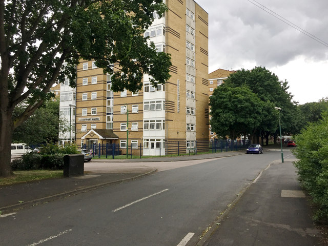
Image: © Robin Stott Taken: 15 Jun 2018
The map says 'Motte and Bailey Castle' in the area but I don't think this is it.
Images are licensed for reuse under creativecommons.org/licenses/by-sa/2.0
Image Location
Latitude
52.489932
Longitude
-1.755628