Baynhall Farm
Introduction
The photograph on this page of Baynhall Farm by Philip Halling as part of the Geograph project.
The Geograph project started in 2005 with the aim of publishing, organising and preserving representative images for every square kilometre of Great Britain, Ireland and the Isle of Man.

There are currently over 7.5m images from over 14,400 individuals and you can help contribute to the project by visiting https://www.geograph.org.uk
Baynhall Farm
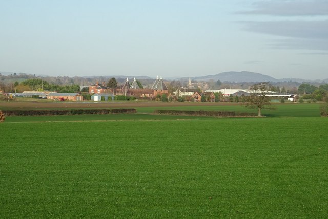
Image: © Philip Halling Taken: 9 Jan 2019
The hopkilns of Baynhill Farm have been converted to residential accommodation. The tower of Stanbrook Abbey, now a hotel, can be seen at Callow End in the background. The Abberley Hills can be seen on the horizon. The field in the foreground is growing turf.
Images are licensed for reuse under creativecommons.org/licenses/by-sa/2.0
Image Location
Latitude
52.12255
Longitude
-2.218607