Descending over Haw Park
Introduction
The photograph on this page of Descending over Haw Park by Chris Heaton as part of the Geograph project.
The Geograph project started in 2005 with the aim of publishing, organising and preserving representative images for every square kilometre of Great Britain, Ireland and the Isle of Man.

There are currently over 7.5m images from over 14,400 individuals and you can help contribute to the project by visiting https://www.geograph.org.uk
Descending over Haw Park
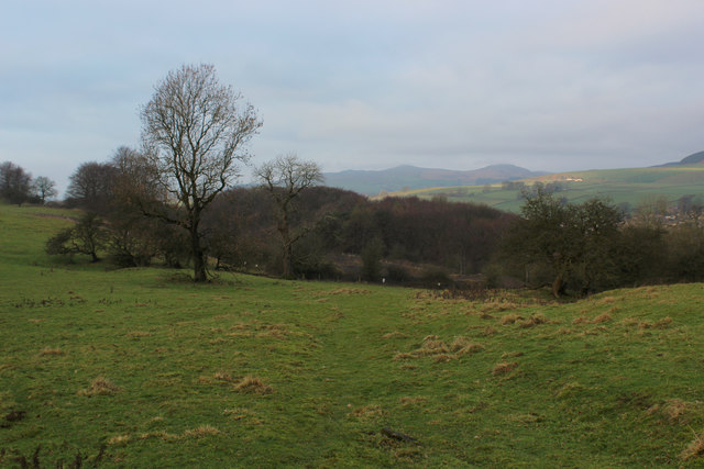
Image: © Chris Heaton Taken: 11 Jan 2019
Public footpath descending over pasture to the woods, and the village of Embsay beyond
Images are licensed for reuse under creativecommons.org/licenses/by-sa/2.0
Image Location
Latitude
53.972259
Longitude
-1.984871