Edge of Brixham
Introduction
The photograph on this page of Edge of Brixham by Derek Harper as part of the Geograph project.
The Geograph project started in 2005 with the aim of publishing, organising and preserving representative images for every square kilometre of Great Britain, Ireland and the Isle of Man.

There are currently over 7.5m images from over 14,400 individuals and you can help contribute to the project by visiting https://www.geograph.org.uk
Edge of Brixham
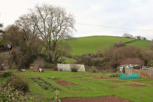
Image: © Derek Harper Taken: 14 Jan 2019
A view from Milton Street near the junction with Elizabeth Avenue, towards Guzzle Down, most of which is in Image
Images are licensed for reuse under creativecommons.org/licenses/by-sa/2.0
Image Location
Latitude
50.378463
Longitude
-3.534332