Footpath behind Shetland Way
Introduction
The photograph on this page of Footpath behind Shetland Way by David Dixon as part of the Geograph project.
The Geograph project started in 2005 with the aim of publishing, organising and preserving representative images for every square kilometre of Great Britain, Ireland and the Isle of Man.

There are currently over 7.5m images from over 14,400 individuals and you can help contribute to the project by visiting https://www.geograph.org.uk
Footpath behind Shetland Way
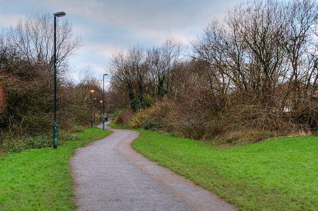
Image: © David Dixon Taken: 11 Jan 2019
This "green corridor" separates the 1970s estate (on the left) from the 1990s estate (on the right). It was created when the latter estate was built on land which had previously been farmland.
Images are licensed for reuse under creativecommons.org/licenses/by-sa/2.0
Image Location
Latitude
53.567523
Longitude
-2.330029