The former Alder Mill
Introduction
The photograph on this page of The former Alder Mill by Chris Allen as part of the Geograph project.
The Geograph project started in 2005 with the aim of publishing, organising and preserving representative images for every square kilometre of Great Britain, Ireland and the Isle of Man.

There are currently over 7.5m images from over 14,400 individuals and you can help contribute to the project by visiting https://www.geograph.org.uk
The former Alder Mill
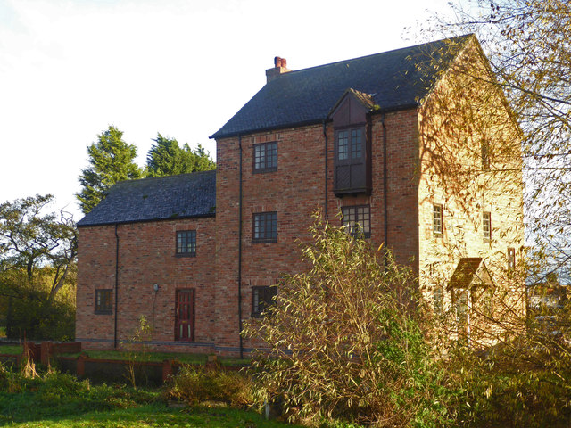
Image: © Chris Allen Taken: 10 Nov 2018
A water mill on the River Anker that has been turned into a house. There is some preserved machinery by the road side that came from a sugar mill and had nothing to do with the water mill, which was a grain mill. I could see no evidence of a water wheel without trespassing.
Images are licensed for reuse under creativecommons.org/licenses/by-sa/2.0
Image Location
Latitude
52.590905
Longitude
-1.547376