Former school, Wolborough Hill
Introduction
The photograph on this page of Former school, Wolborough Hill by Derek Harper as part of the Geograph project.
The Geograph project started in 2005 with the aim of publishing, organising and preserving representative images for every square kilometre of Great Britain, Ireland and the Isle of Man.

There are currently over 7.5m images from over 14,400 individuals and you can help contribute to the project by visiting https://www.geograph.org.uk
Former school, Wolborough Hill
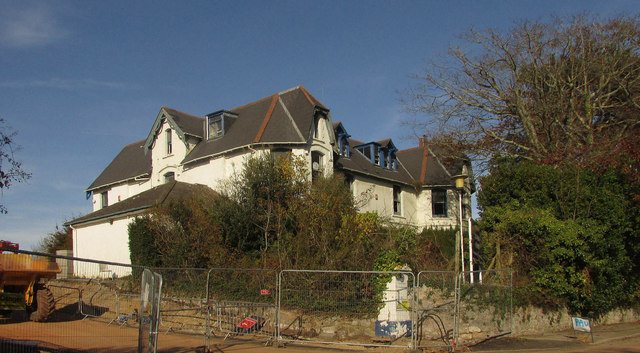
Image: © Derek Harper Taken: 24 Oct 2018
Most of the buildings belonging to Wolborough Hill School and its successor, Bishop Dunstan school, have been or are being demolished, but this building will be converted into four properties http://www.middevonadvertiser.co.uk/article.cfm?id=100914&headline=Properties%20plan%20for%20former%20Bishop%20Dunstan%20school%20site%20in%20Newton%20Abbot§ionIs=news&searchyear=2015 .
Images are licensed for reuse under creativecommons.org/licenses/by-sa/2.0
Image Location
Latitude
50.524017
Longitude
-3.611563