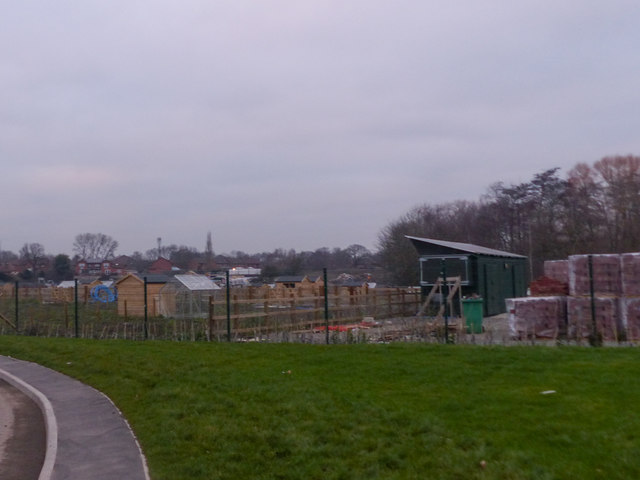
Replacement Allotments, Martin's Reach
Introduction
The photograph on this page of Replacement Allotments, Martin's Reach by SK53 as part of the Geograph project.
The Geograph project started in 2005 with the aim of publishing, organising and preserving representative images for every square kilometre of Great Britain, Ireland and the Isle of Man.
There are currently over 7.5m images from over 14,400 individuals and you can help contribute to the project by visiting https://www.geograph.org.uk

Image: © SK53 Taken: 4 Jan 2019
A much reduced area of allotments was included in the Martin's Reach development. These must have been re-occupied very recently and look rather different from their predecessor. A small stream runs through the allotments and then into Martin's Pond Local Nature Reserve (the trees rear right) and from thence into Harrison's Plantation. See https://www.geograph.org.uk/photo/728465 for a view of the old allotments.

