
A road no longer....
Introduction
The photograph on this page of A road no longer.... by Dr Neil Clifton as part of the Geograph project.
The Geograph project started in 2005 with the aim of publishing, organising and preserving representative images for every square kilometre of Great Britain, Ireland and the Isle of Man.

There are currently over 7.5m images from over 14,400 individuals and you can help contribute to the project by visiting https://www.geograph.org.uk
A road no longer....
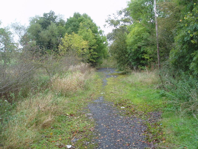
Image: © Dr Neil Clifton Taken: 2 Oct 2005
The A 59 (no longer a trunk since completion of the M65) has been subject to many improvements and straightenings over the years. In several places this has left 'dead' loops of the old road, as here between West Marton and Gisburn in Yorkshire. Some of the road markings can still be discerned. View looking east, near to where 'Dick Turpin's' (a mobile roadside cafe) is normally parked, but on this day he was not there.
Images are licensed for reuse under creativecommons.org/licenses/by-sa/2.0
Image Location

Latitude
53.947739
Longitude
-2.198033