Footpath, Sherburn House
Introduction
The photograph on this page of Footpath, Sherburn House by David Robinson as part of the Geograph project.
The Geograph project started in 2005 with the aim of publishing, organising and preserving representative images for every square kilometre of Great Britain, Ireland and the Isle of Man.

There are currently over 7.5m images from over 14,400 individuals and you can help contribute to the project by visiting https://www.geograph.org.uk
Footpath, Sherburn House
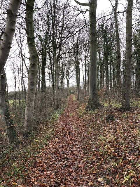
Image: © David Robinson Taken: 26 Nov 2018
Footpath towards Whitwell Grange from Sherburn House. The path is on an embankment across the culverted Chapman Beck which was constructed as a waggonway taking coals from Cassop Vale. The waggonway pre-dates the Leamside line which it crosses at Whitwell and joined the line from Shincliffe village towards Sunderland. The junction later gained a third branch with the construction of the line to Durham Elvet. All these railways and waggonways are now closed.
Images are licensed for reuse under creativecommons.org/licenses/by-sa/2.0
Image Location
Latitude
54.76426
Longitude
-1.524405