House on a junction at Clawddnewydd
Introduction
The photograph on this page of House on a junction at Clawddnewydd by Eirian Evans as part of the Geograph project.
The Geograph project started in 2005 with the aim of publishing, organising and preserving representative images for every square kilometre of Great Britain, Ireland and the Isle of Man.

There are currently over 7.5m images from over 14,400 individuals and you can help contribute to the project by visiting https://www.geograph.org.uk
House on a junction at Clawddnewydd
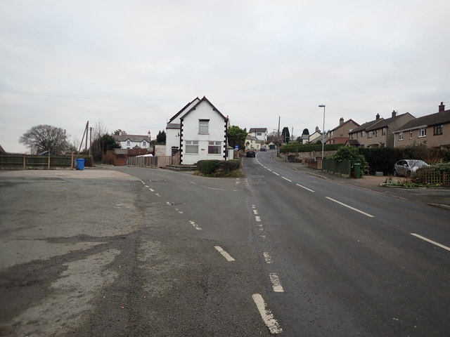
Image: © Eirian Evans Taken: 4 Jan 2019
The road to the left goes to Bryn Saith Marchog and Llanelidan, while straight on goes to Cerrig-y-Drudion and the A5,
Images are licensed for reuse under creativecommons.org/licenses/by-sa/2.0
Image Location
Latitude
53.06113
Longitude
-3.369786