Allotments, Tatsfield
Introduction
The photograph on this page of Allotments, Tatsfield by Robin Webster as part of the Geograph project.
The Geograph project started in 2005 with the aim of publishing, organising and preserving representative images for every square kilometre of Great Britain, Ireland and the Isle of Man.

There are currently over 7.5m images from over 14,400 individuals and you can help contribute to the project by visiting https://www.geograph.org.uk
Allotments, Tatsfield
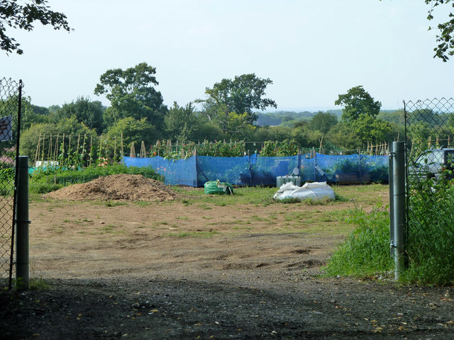
Image: © Robin Webster Taken: 31 Jul 2011
In 2011 this seemed to be a fairly new venture, earlier views show this as an ordinary farm field.
Images are licensed for reuse under creativecommons.org/licenses/by-sa/2.0
Image Location


Leaflet Map data © OpenStreetMap
Latitude
51.292866
Longitude
0.021682