Canalside Cafe
Introduction
The photograph on this page of Canalside Cafe by Des Blenkinsopp as part of the Geograph project.
The Geograph project started in 2005 with the aim of publishing, organising and preserving representative images for every square kilometre of Great Britain, Ireland and the Isle of Man.

There are currently over 7.5m images from over 14,400 individuals and you can help contribute to the project by visiting https://www.geograph.org.uk
Canalside Cafe
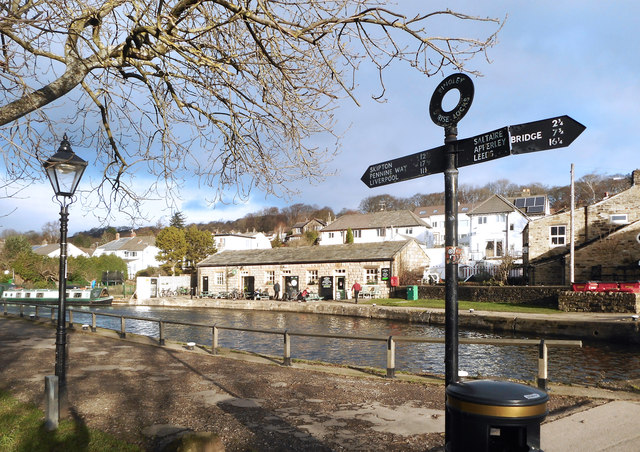
Image: © Des Blenkinsopp Taken: 31 Dec 2018
At the top of the five rise lock flight, a stop for coffee, lunch or tea in an old stables building.
Images are licensed for reuse under creativecommons.org/licenses/by-sa/2.0
Image Location


Leaflet Map data © OpenStreetMap
Latitude
53.856658
Longitude
-1.838051