Old Milestone by the B5345, north of St Bees
Introduction
The photograph on this page of Old Milestone by the B5345, north of St Bees by Milestone Society as part of the Geograph project.
The Geograph project started in 2005 with the aim of publishing, organising and preserving representative images for every square kilometre of Great Britain, Ireland and the Isle of Man.

There are currently over 7.5m images from over 14,400 individuals and you can help contribute to the project by visiting https://www.geograph.org.uk
Old Milestone by the B5345, north of St Bees
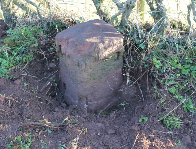
Image: © Milestone Society Taken: 19 Dec 2018
Stone post (plates lost) on the B5345 in the parish of St Bees (Copeland District), North of village, 20m South of junction to Byerstead under hedge at wall end, East side of road. Whitehaven stone plate, erected by Whitehaven Turnpike Trust, C19. Inscription once read:- : (Whitehaven 4) : : (St Bees ½) : Milestone Society National ID: CU_WHSB04.
Images are licensed for reuse under creativecommons.org/licenses/by-sa/2.0
Image Location
Latitude
54.496845
Longitude
-3.59246