Branch Line
Introduction
The photograph on this page of Branch Line by Maurice Pullin as part of the Geograph project.
The Geograph project started in 2005 with the aim of publishing, organising and preserving representative images for every square kilometre of Great Britain, Ireland and the Isle of Man.

There are currently over 7.5m images from over 14,400 individuals and you can help contribute to the project by visiting https://www.geograph.org.uk
Branch Line
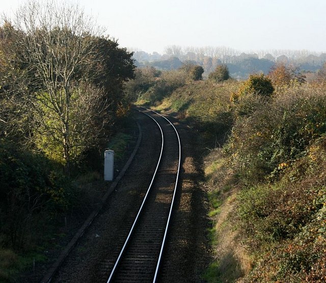
Image: © Maurice Pullin Taken: 3 Nov 2007
Seen from the railway bridge at Staverton looking south. The next station is at Trowbridge. This line joins the main Bath/Bradford on Avon/Trowbridge/etc line a very short distance beyond the bend.
Images are licensed for reuse under creativecommons.org/licenses/by-sa/2.0
Image Location
Latitude
51.342228
Longitude
-2.208983