Looking down on a weir on the River Averon
Introduction
The photograph on this page of Looking down on a weir on the River Averon by Julian Paren as part of the Geograph project.
The Geograph project started in 2005 with the aim of publishing, organising and preserving representative images for every square kilometre of Great Britain, Ireland and the Isle of Man.

There are currently over 7.5m images from over 14,400 individuals and you can help contribute to the project by visiting https://www.geograph.org.uk
Looking down on a weir on the River Averon
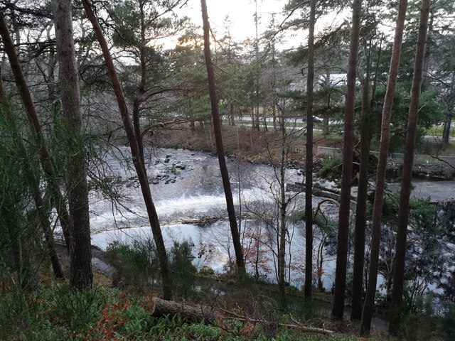
Image: © Julian Paren Taken: 8 Jan 2019
A short side path climbs the bank above the Averon to provide a "viewpoint" of the weir but it is a No Through Route. Beside the river is the footpath used in the Alness 5km Park Run.
Images are licensed for reuse under creativecommons.org/licenses/by-sa/2.0
Image Location


Leaflet Map data © OpenStreetMap
Latitude
57.690237
Longitude
-4.256002