Reemit Hill
Introduction
The photograph on this page of Reemit Hill by Anne Burgess as part of the Geograph project.
The Geograph project started in 2005 with the aim of publishing, organising and preserving representative images for every square kilometre of Great Britain, Ireland and the Isle of Man.

There are currently over 7.5m images from over 14,400 individuals and you can help contribute to the project by visiting https://www.geograph.org.uk
Reemit Hill
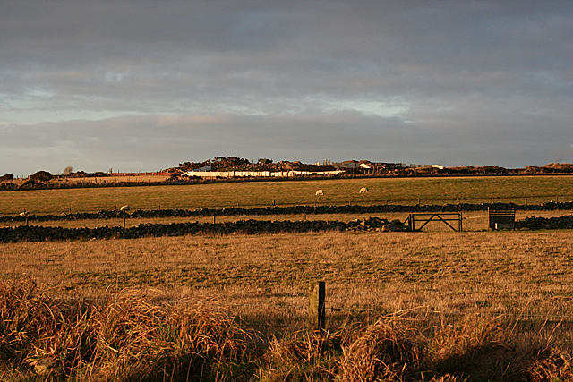
Image: © Anne Burgess Taken: 2 Jan 2019
It's not much of a hill, and not enough to warrant being named on the 1:50,000 or 1:25,000 maps. The white wall surrounds some sort of enterprise at Uppertown.
Images are licensed for reuse under creativecommons.org/licenses/by-sa/2.0
Image Location
Latitude
57.070816
Longitude
-2.116748