Landfall
Introduction
The photograph on this page of Landfall by Anne Burgess as part of the Geograph project.
The Geograph project started in 2005 with the aim of publishing, organising and preserving representative images for every square kilometre of Great Britain, Ireland and the Isle of Man.

There are currently over 7.5m images from over 14,400 individuals and you can help contribute to the project by visiting https://www.geograph.org.uk
Landfall
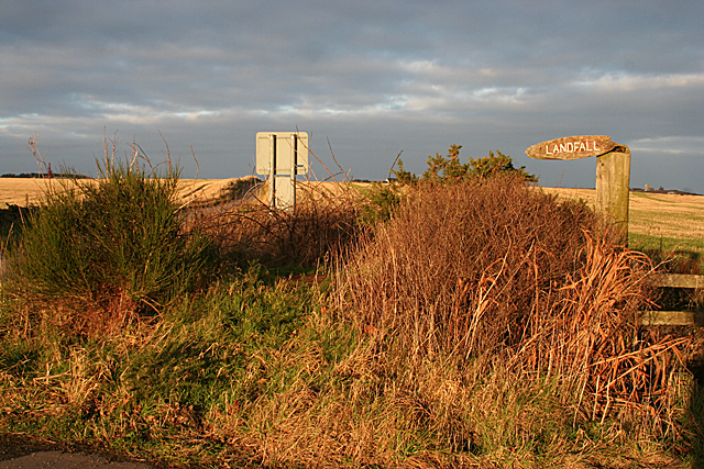
Image: © Anne Burgess Taken: 2 Jan 2019
Notice to aliens: "Land your spacecraft here"? More prosaically, it is at the end of the track to Findon Moor, and therefore refers to the house a hundred metres or so along the track.
Images are licensed for reuse under creativecommons.org/licenses/by-sa/2.0
Image Location
Latitude
57.070558
Longitude
-2.103718