Bothiebrig Garage
Introduction
The photograph on this page of Bothiebrig Garage by Anne Burgess as part of the Geograph project.
The Geograph project started in 2005 with the aim of publishing, organising and preserving representative images for every square kilometre of Great Britain, Ireland and the Isle of Man.

There are currently over 7.5m images from over 14,400 individuals and you can help contribute to the project by visiting https://www.geograph.org.uk
Bothiebrig Garage
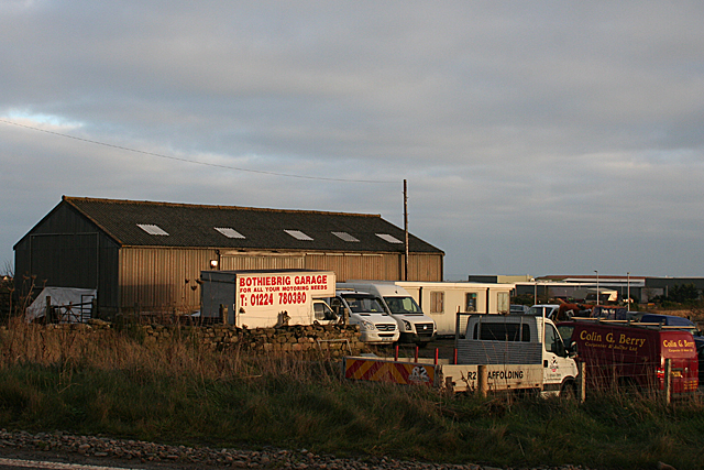
Image: © Anne Burgess Taken: 2 Jan 2019
A look at the first edition of the six-inch Ordnance Survey map shows that Bothie Brig was a little further to the south-east of here, but what may have been the original building must have been replaced when the main road obliterated it. More recent road realignments seem to have left it high and dry on a dead end off a now very minor road.
Images are licensed for reuse under creativecommons.org/licenses/by-sa/2.0
Image Location
Latitude
57.091387
Longitude
-2.117473