Cylla Sidings, Ystrad Mynach
Introduction
The photograph on this page of Cylla Sidings, Ystrad Mynach by Jaggery as part of the Geograph project.
The Geograph project started in 2005 with the aim of publishing, organising and preserving representative images for every square kilometre of Great Britain, Ireland and the Isle of Man.

There are currently over 7.5m images from over 14,400 individuals and you can help contribute to the project by visiting https://www.geograph.org.uk
Cylla Sidings, Ystrad Mynach
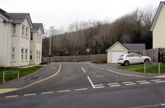
Image: © Jaggery Taken: 5 Jan 2019
Cylla Sidings is a cul-de-sac of recently-built houses on the west side of Penallta Road viewed in January 2019. An April 2016 Google Street view shows a fenced-off site here with the houses looking complete externally. The cul-de-sac is located near the former Cylla branch line, a mineral line to Penallta Colliery. The stream Nant Cylla is behind the camera.
Images are licensed for reuse under creativecommons.org/licenses/by-sa/2.0
Image Location


Leaflet Map data © OpenStreetMap
Latitude
51.646442
Longitude
-3.238989