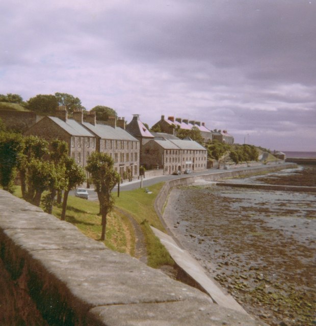
View along the north shore of the Tweed, from Fisher's Fort, Berwick, 1969
Introduction
The photograph on this page of View along the north shore of the Tweed, from Fisher's Fort, Berwick, 1969 by Stefan Czapski as part of the Geograph project.
The Geograph project started in 2005 with the aim of publishing, organising and preserving representative images for every square kilometre of Great Britain, Ireland and the Isle of Man.
There are currently over 7.5m images from over 14,400 individuals and you can help contribute to the project by visiting https://www.geograph.org.uk

Image: © Stefan Czapski Taken: 19 Jul 1969
A photo taken in morning light, looking seaward from the fort walls https://www.geograph.org.uk/photo/775216 I don't doubt that it was the roof of Image that caught my eye and prompted this shot. My camera was a boxy Kodak Instamatic. I was in Berwick a few days before the Apollo 11 moon-landing. A recent view Image suggests that not a lot has changed in half a century, though there are now more cars (and perhaps fewer trees). Image scanned from a print. I've attempted to correct a reddish bias that's crept in over the years, but haven't altogether succeeded.

