Brunel Close, Upper Norwood, south London
Introduction
The photograph on this page of Brunel Close, Upper Norwood, south London by Robin Stott as part of the Geograph project.
The Geograph project started in 2005 with the aim of publishing, organising and preserving representative images for every square kilometre of Great Britain, Ireland and the Isle of Man.

There are currently over 7.5m images from over 14,400 individuals and you can help contribute to the project by visiting https://www.geograph.org.uk
Brunel Close, Upper Norwood, south London
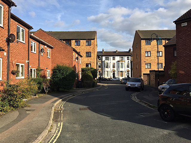
Image: © Robin Stott Taken: 8 Oct 2018
Bounded by busy Westow Hill, Westow Street and Church Road, this part of Upper Norwood is known as the Crystal Palace 'triangle'. At its heart is an intimate area of small businesses and 20th-century council-built two-storey houses threaded by a well-used network of footpaths. The view down the close is to St Aubyn's Road Image
Images are licensed for reuse under creativecommons.org/licenses/by-sa/2.0
Image Location
Latitude
51.418956
Longitude
-0.080485