St Neot Methodist church
Introduction
The photograph on this page of St Neot Methodist church by Stephen Craven as part of the Geograph project.
The Geograph project started in 2005 with the aim of publishing, organising and preserving representative images for every square kilometre of Great Britain, Ireland and the Isle of Man.

There are currently over 7.5m images from over 14,400 individuals and you can help contribute to the project by visiting https://www.geograph.org.uk
St Neot Methodist church
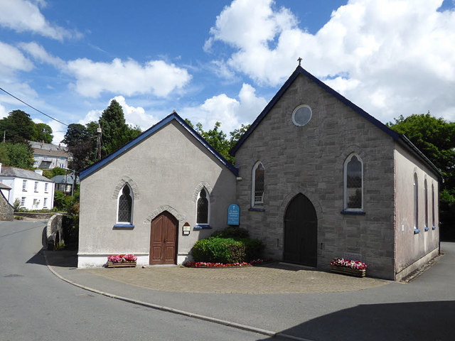
Image: © Stephen Craven Taken: 9 Aug 2018
The saint gave his name to the parish church and village, rather than the later Methodist place of worship.
Images are licensed for reuse under creativecommons.org/licenses/by-sa/2.0
Image Location


Leaflet Map data © OpenStreetMap
Latitude
50.482
Longitude
-4.5605