Llwybr Garreg Lwyd / Garreg Lwyd Path
Introduction
The photograph on this page of Llwybr Garreg Lwyd / Garreg Lwyd Path by Alan Richards as part of the Geograph project.
The Geograph project started in 2005 with the aim of publishing, organising and preserving representative images for every square kilometre of Great Britain, Ireland and the Isle of Man.

There are currently over 7.5m images from over 14,400 individuals and you can help contribute to the project by visiting https://www.geograph.org.uk
Llwybr Garreg Lwyd / Garreg Lwyd Path
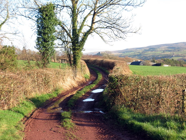
Image: © Alan Richards Taken: 2 Jan 2019
Llwybr cyhoeddus yn mynd tuag at Ffarm Garreg Lwyd. Yn weladwy yn y pellter mae Castell Carreg Cennen. A public footpath heading towards Carreg Lwyd Farm (trans. grey stone). Visible in the distance is Carreg Cennen Castle.
Images are licensed for reuse under creativecommons.org/licenses/by-sa/2.0
Image Location


Leaflet Map data © OpenStreetMap
Latitude
51.856153
Longitude
-3.968758