Dry ford over the Langley Burn
Introduction
The photograph on this page of Dry ford over the Langley Burn by Oliver Dixon as part of the Geograph project.
The Geograph project started in 2005 with the aim of publishing, organising and preserving representative images for every square kilometre of Great Britain, Ireland and the Isle of Man.

There are currently over 7.5m images from over 14,400 individuals and you can help contribute to the project by visiting https://www.geograph.org.uk
Dry ford over the Langley Burn
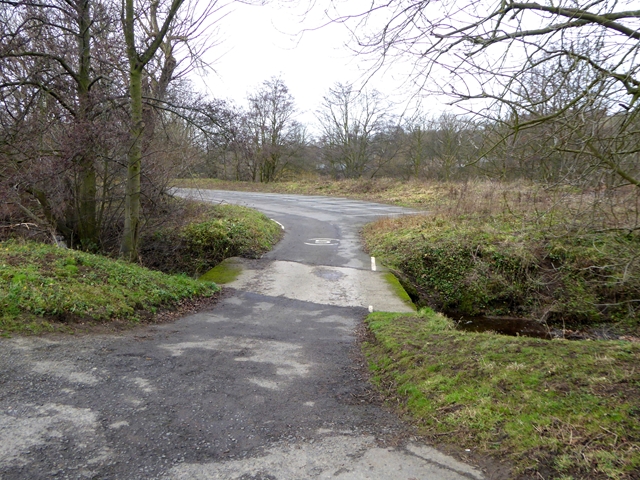
Image: © Oliver Dixon Taken: 2 Jan 2019
Just above the confluence with the River South Tyne. The ford gives access to the playing fields of Haydon Bridge United AFC.
Images are licensed for reuse under creativecommons.org/licenses/by-sa/2.0
Image Location
Latitude
54.975229
Longitude
-2.242901