Viaduct at Glasinfryn
Introduction
The photograph on this page of Viaduct at Glasinfryn by David Dixon as part of the Geograph project.
The Geograph project started in 2005 with the aim of publishing, organising and preserving representative images for every square kilometre of Great Britain, Ireland and the Isle of Man.

There are currently over 7.5m images from over 14,400 individuals and you can help contribute to the project by visiting https://www.geograph.org.uk
Viaduct at Glasinfryn
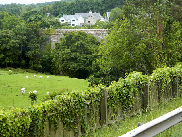
Image: © David Dixon Taken: 16 Jun 2018
Sheep grazing below the Victorian viaduct at Glasinfryn, viewed from the North Wales Expressway (A55). The viaduct used to carry the Bethesda to Bangor railway. The disused trackbed now forms part of the Lôn Las Ogwen long-distance cycle trail.
Images are licensed for reuse under creativecommons.org/licenses/by-sa/2.0
Image Location
Latitude
53.199706
Longitude
-4.116191