Mollison Drive, Roundshaw, Surrey
Introduction
The photograph on this page of Mollison Drive, Roundshaw, Surrey by Dr Neil Clifton as part of the Geograph project.
The Geograph project started in 2005 with the aim of publishing, organising and preserving representative images for every square kilometre of Great Britain, Ireland and the Isle of Man.

There are currently over 7.5m images from over 14,400 individuals and you can help contribute to the project by visiting https://www.geograph.org.uk
Mollison Drive, Roundshaw, Surrey
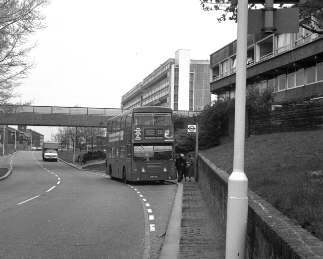
Image: © Dr Neil Clifton Taken: 21 Apr 1980
The Roundshaw estate was developed in the 1970s on land previously occupied by Croydon Airport. The bridge over the road here was later demolished owing to hooliganism.
Images are licensed for reuse under creativecommons.org/licenses/by-sa/2.0
Image Location
Latitude
51.353843
Longitude
-0.130171